Purification Movement
From waste to living shore
Turning the mineral spoil of an Alpine base tunnel into new ground, and a lake shore that cleans its own water.
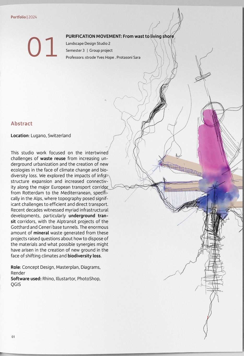
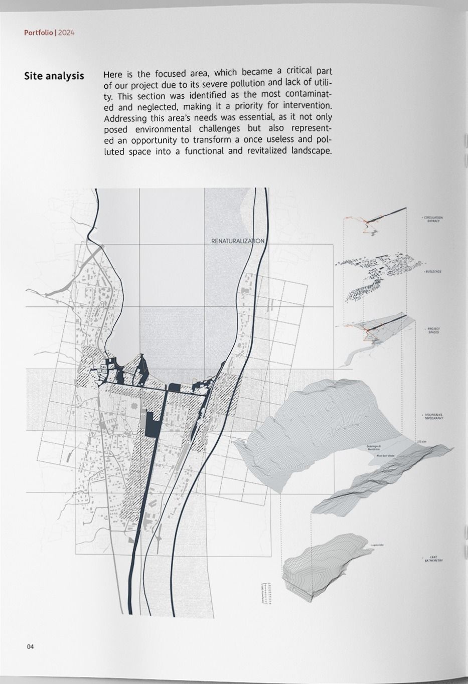
The Rotterdam–Mediterranean freight corridor has to get through the Alps, and the Alps do not make that easy. The Alptransit projects, the Gotthard and Ceneri base tunnels, solved the topography by going under it, and in doing so produced an enormous quantity of excavated mineral waste.
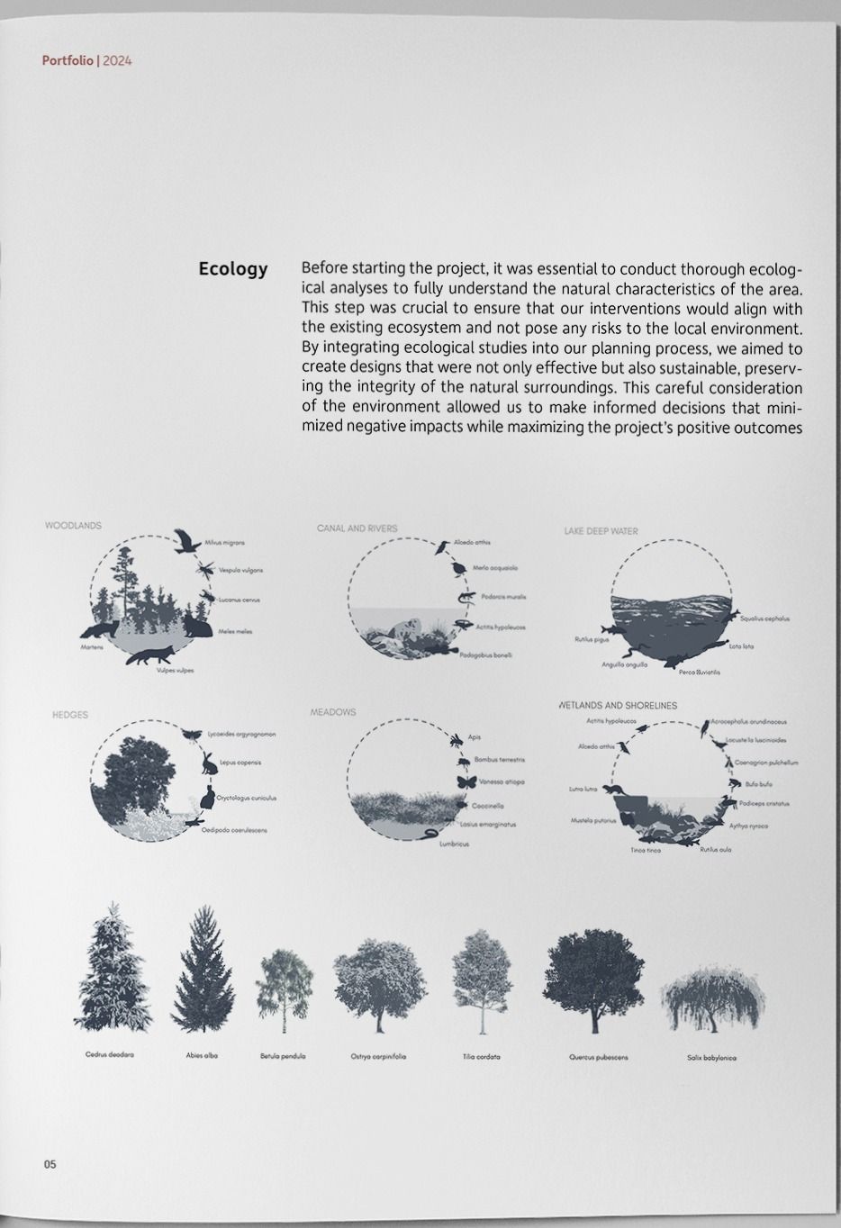
The studio took that waste as its starting material. If the mountain has already been moved, where should it go, and what could it become in a climate that is shifting and a lake system that is losing biodiversity?
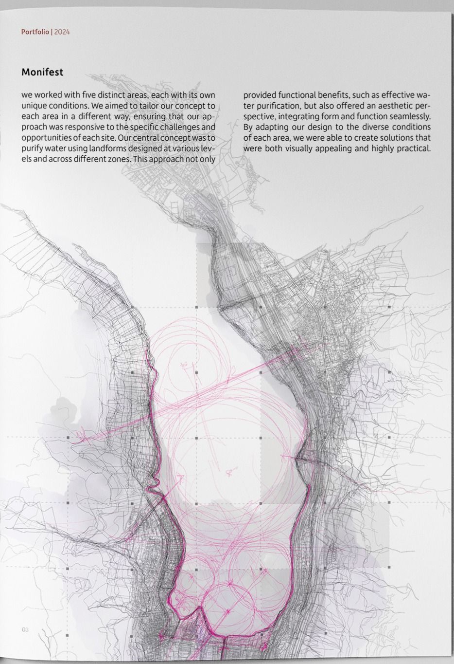
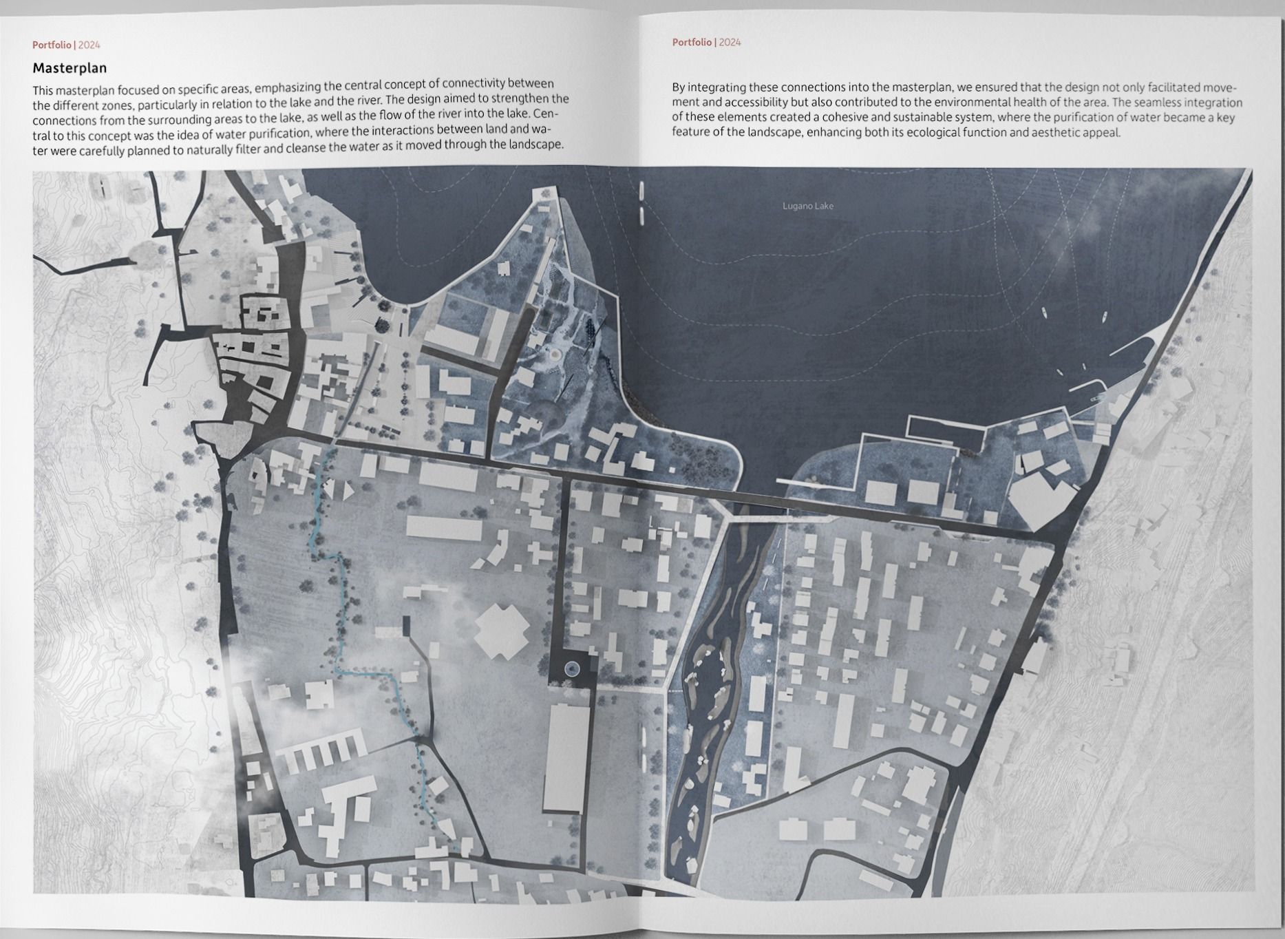
We worked across five distinct areas, each with its own conditions, tailoring the approach to every site rather than repeating one gesture. The central move is to purify water using landforms set at different levels and across different zones: an intervention that filters as a matter of geometry rather than machinery, and that reads as landscape rather than infrastructure.
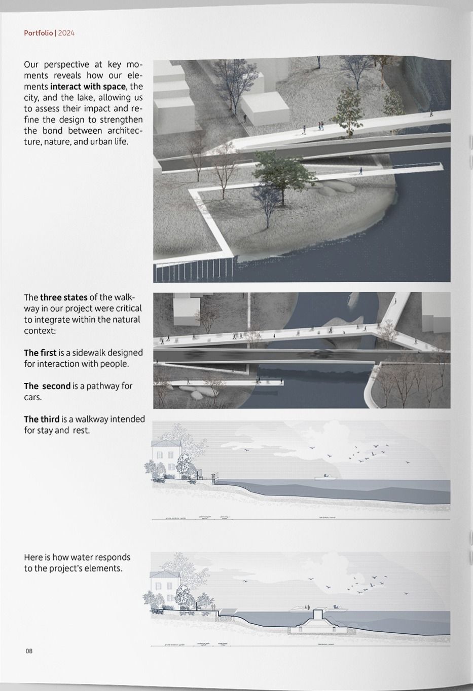
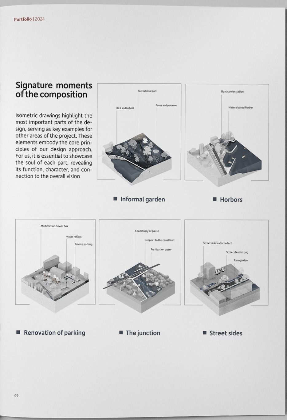
The waterfront is resolved as three separate states of walkway: a sidewalk built for people to meet on, a pathway for cars, and a third walkway meant only for staying and resting. Along the shore, the design names its moments: an informal garden, the harbours, a renovated parking structure, the junction, and the street sides, each detailed as a small piece of the larger system.
- Lugano, Switzerland
- 2024
- Landscape Design Studio 2 · Semester 3
- Strode Yves Hope · Protasoni Sara
- Group project
- Concept design · Masterplan · Diagrams · Render
- Rhino · Illustrator · Photoshop · QGIS
Academic work. My contribution is listed above; the rest of the studio group did the rest.